Localization systems

 (96 kb) Occasionally, collectors would take the time to record a few details about where they found their specimen, but this was not the general rule.
Around the turn of the 19th century, the Englishman M. Jex identified eight main layers that he thought represented the richest fossil zones. Later, in 1938, Graham-Smith divided the formation into 18 distinct lithological and biostratigraphic zones. The following year, Loris Shano Russell of the Royal Ontario Museum defined five fossiliferous zones that did not display continuity with each other. In 1982, Hesse and Sawh of McGill University in Montreal proposed that the entire Escuminac Formation be divided into eight stratigraphic units representing large-scale sedimentation cycles. These main units are still used today.

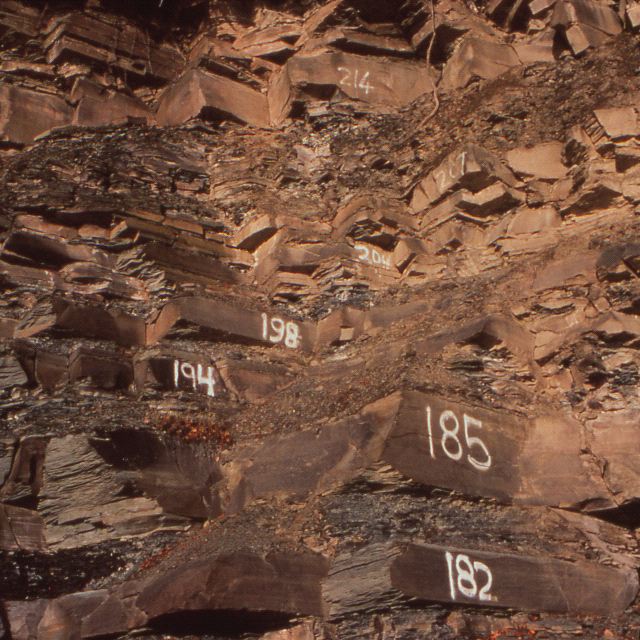
 (100 kb)Since 1989, the location of each collected fossil is assigned to one of 394 catalogued sedimentary beds. In addition, the main section of the cliff is divided into forty-two 50-m long sections from east to west to allow a specific spot to be quickly located. These divisions are for geographic reference purposes only and do not take into account the stratigraphy. Because beds may extend over great distances and display significant lateral variations, the location of a fossil and its associated sedimentary characteristics is now systematically defined using a combination of bed number and geographic section.
Site map | Feedback | Links | Sources | Credits
Localization systems
<< Geological characteristics | Biostratigraphy >>

Title: Numbering the beds
Author: Parc national de Miguasha
Sources: Parc national de Miguasha
Year: 1990
Description:
Each of the sedimentary beds in the Escuminac Formation is assigned a number. It is as part of a system that allows the location of each specimen to be precisely recorded.

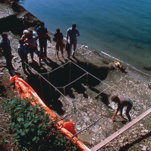
Title: A fossil excavation site
Author: Fred Klus
Sources: Parc national de Miguasha
Year: 1983
Description:
Preparing a site at the Miguasha cliff for systematic fossil digging in 1983. The excavation site is in a section of the cliff immediately behind the Natural History Museum and is still being excavated more than twenty years later.


